Aerial photography

Composed aerial images that make a place look its best

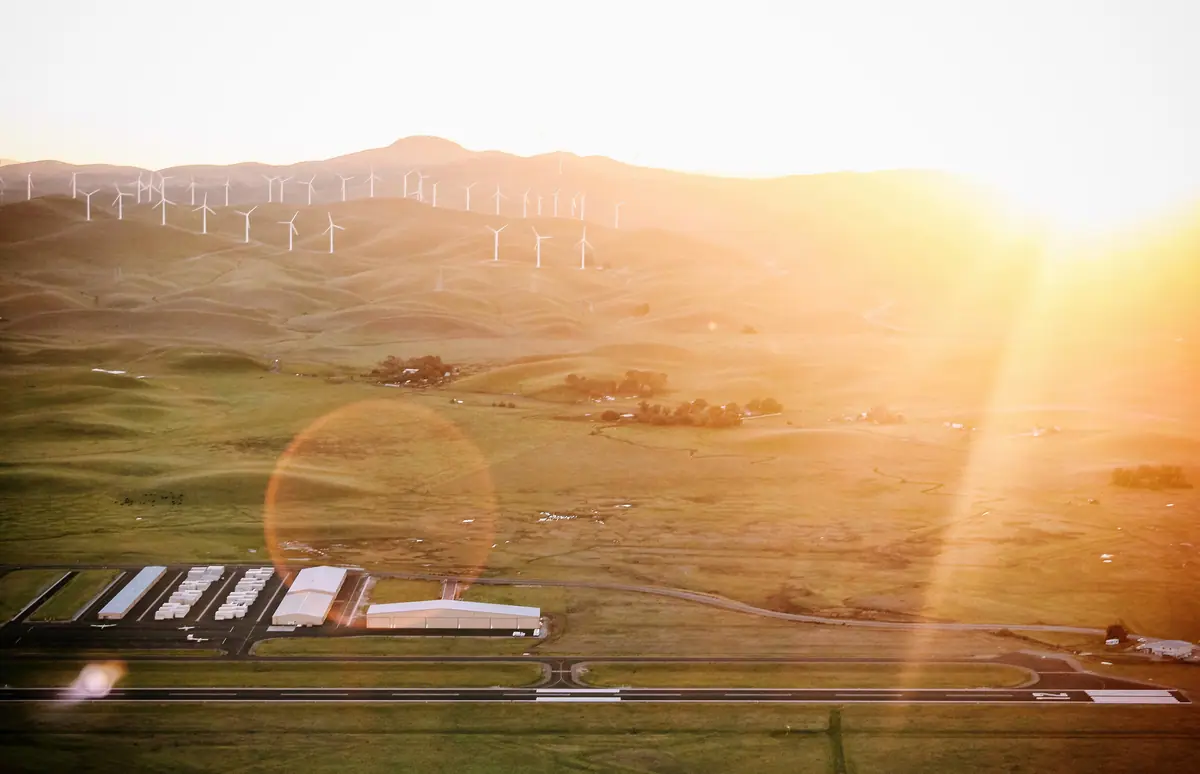
Good aerial photography is about more than altitude. Light, angle, height and framing decide whether an image looks like a snapshot or a hero shot. SiouxSky plans each shoot around the story you want to tell — a facility's scale, a campus's setting, a landmark in its landscape — and delivers carefully edited images ready for marketing and print.

The challenge

Why clients ask for aerial photography

  • Brand images look generic

    Stock photography doesn't show your facility, your town or your project.

  • Scale doesn't come across

    A large facility, campus or development rarely fits into a ground-level frame.

  • Images need to work in many places

    Websites, brochures, signage and presentations each need different crops and sizes.

What can be performed

Available services

  • Planned compositions

    A shot list built around your message, with timing chosen for the best light on the subject.

  • Facility and campus photography

    Hero images of buildings, grounds and operations for corporate and recruiting materials.

  • Community and place imagery

    Downtowns, parks, venues and landscapes for tourism, development and civic communications.

  • Professional editing

    Color, exposure and perspective corrections, with crops prepared for your channels.

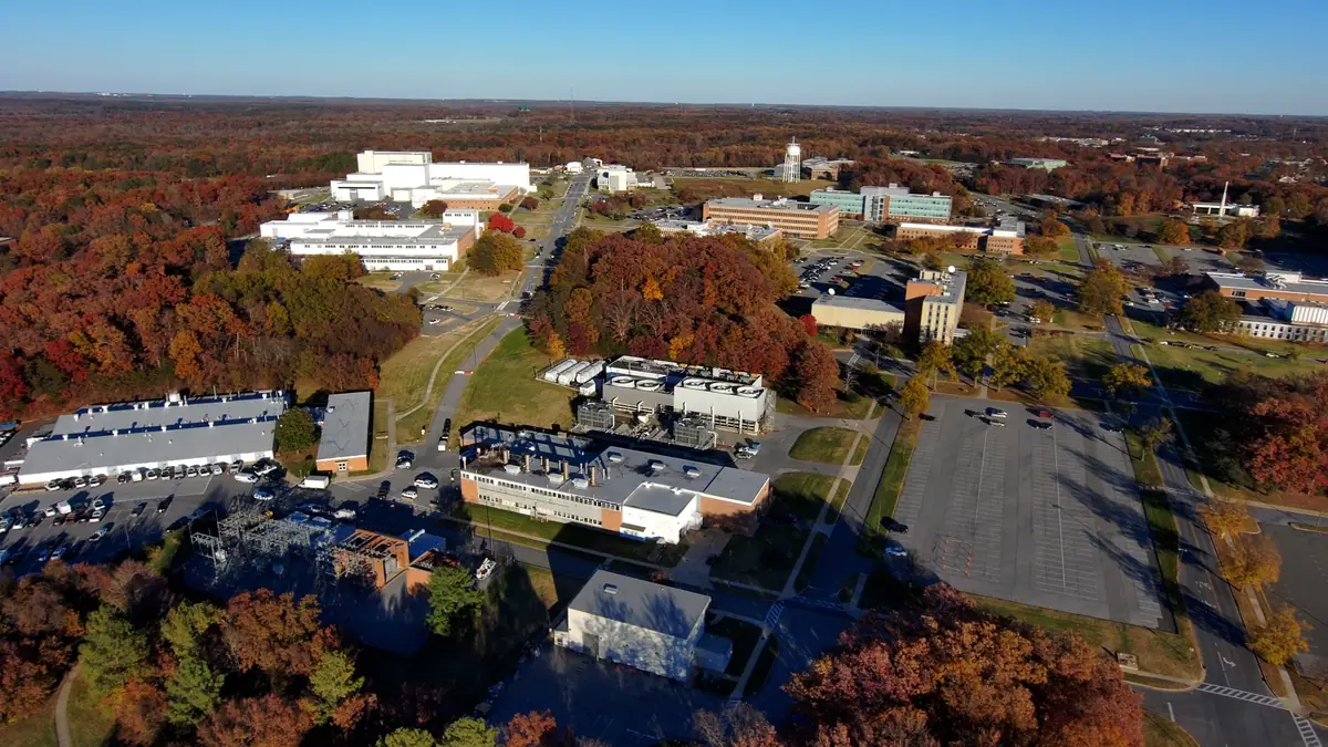
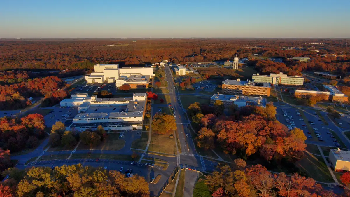
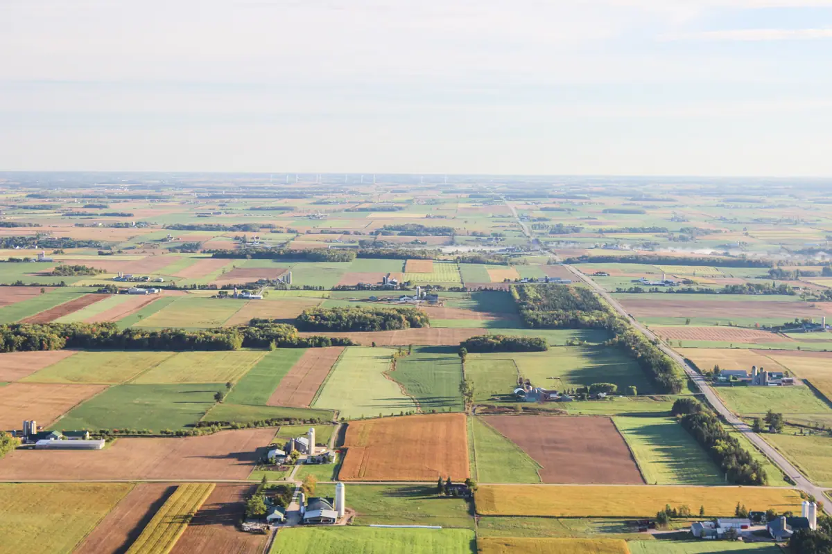
Aerial view at sunrise of a commercial campus with office buildings, parking areas and roads surrounded by autumn trees
Sample imagery illustrating this type of work — not a SiouxSky client project. Photo: NASA's Scientific Visualization Studio - Cecelia Vitale-Reddy, Scott Wiessinger, Francis Reddy (Public domain). Credits

Scope & limitations

What this service is — and isn't

  • Some locations — near airports, stadiums during events, or certain government and critical facilities — are restricted or need FAA authorization, which may limit dates or angles.
  • Flights over crowds or people not involved in the shoot are avoided.
  • Images are for visual and marketing use, not measurement.

How it works

How it works: Aerial Photography

  1. 01

    Submit project details

    Tell us the location, what you need captured, your timeframe and how the results will be used.

    Tell us the subject, the intended use and any reference images you like.

  2. 02

    Receive a scope and quote

    You get a written scope listing views, deliverables, schedule assumptions and price — before anything is booked.

    The quote includes a draft shot list, number of edited images and usage terms.

  3. 03

    Confirm schedule and flight feasibility

    Airspace, permissions, site access, weather and on-site conditions are reviewed and a flight window is set.

    Location permissions, airspace and a light-and-weather window are confirmed.

  4. 04

    Receive the agreed deliverables

    Edited, organized files are delivered to the structure agreed in your scope.

    Edited images are delivered in the sizes and crops your channels need.

Every flight depends on airspace, property-owner and site permissions, weather, site conditions and the regulations that apply at the time. If a flight can't be completed safely and legally, it won't be attempted — and you'll know before the visit.

Packages

How this work is typically scoped

Packages are starting points, not fixed menus. Each project is quoted individually once the site and requirements are known.
  • Property Aerial Package

    Request a Quote

    A set of edited aerial stills of a single property or site, planned around the angles that matter to you.

    Scope can include

    • Pre-flight review of the site and requested views
    • Edited high-resolution still images
    • Web-ready and full-resolution exports
FAQ

Aerial Photography: common questions

How many images will I receive?

The number of edited images is set in the quote based on your shot list, so you know exactly what to expect.

Can we use the photos in paid advertising?

Usage rights are written into the quote. Tell us how you plan to use the images — web, print, advertising — and the terms will cover it.

Can you capture sunrise or sunset?

Yes, where airspace and conditions allow. Low-light flights depend on the rules in effect for the operation and on the weather that day.

Who uses this service

Where it's available

Serving Sioux Falls and Southeast South Dakota, with other South Dakota locations considered when travel and flight conditions permit. View service areas.

  • Aerial Video

    Planned aerial footage and edited video for marketing, recruiting, presentations and social.

    Learn more
  • Real Estate & Land

    Aerial stills and video that show a property's setting, access and surroundings in context.

    Learn more
  • Commercial Drone Services

    Scoped aerial imagery and documentation for construction, property, land and marketing teams.

    Learn more

Start a project

Ready to talk about aerial photography?

Send the location, what you need to see and when. You'll receive a written scope and quote — with any airspace or feasibility issues flagged before anything is scheduled.