Custom Project Services
Request a Quote
Aerial capture scoped around a specific need that doesn't fit a standard package.
Scope can include
- Discovery call to define the outcome
- Feasibility review before quoting
- Deliverables agreed in writing
Custom work
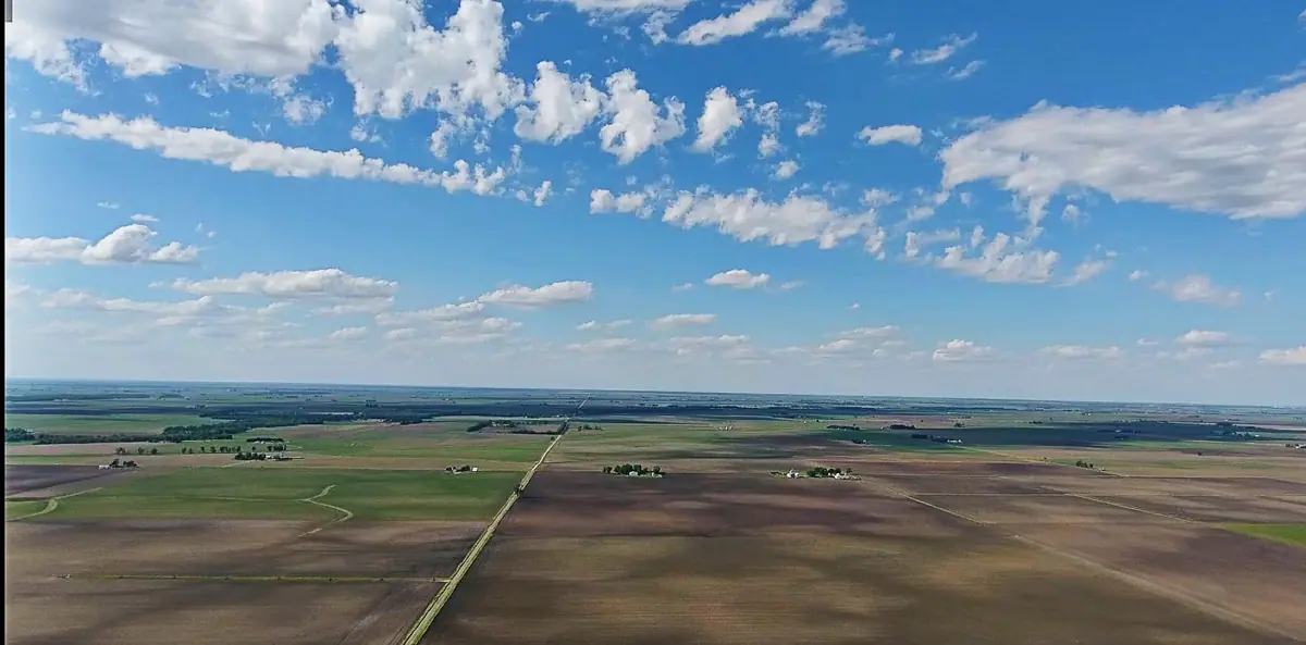
Some of the most useful aerial work doesn't fit a package: a one-off record for a planning meeting, imagery for a grant application, a perspective for a public presentation, or a view of a site no one has seen from above. Describe what you're trying to accomplish and SiouxSky will tell you honestly whether aerial imagery is the right tool — and how it would be done.
The challenge
When a project doesn't match a standard service, it's hard to know who to ask or what's possible.
Airspace, permissions and site conditions can make an idea simple, complicated or impossible.
Without a defined output, custom projects risk turning into a pile of unsorted files.
What can be performed
A conversation about the goal, followed by a review of airspace, permissions and site conditions.
A shot list and flight plan designed for the specific outcome you need.
Images and clips prepared for meetings, applications, reports and public communication.
If the job needs mapping, thermal, surveying or another specialty that isn't offered, you'll be told so up front.
Scope & limitations
How it works
Tell us the location, what you need captured, your timeframe and how the results will be used.
Describe the goal, location, timing and how the results will be used.
You get a written scope listing views, deliverables, schedule assumptions and price — before anything is booked.
You receive a feasibility assessment and, if it's a fit, a written scope and quote.
Airspace, permissions, site access, weather and on-site conditions are reviewed and a flight window is set.
Permissions, airspace, site conditions and a weather window are confirmed.
Edited, organized files are delivered to the structure agreed in your scope.
Deliverables are produced exactly to the agreed definition.
Every flight depends on airspace, property-owner and site permissions, weather, site conditions and the regulations that apply at the time. If a flight can't be completed safely and legally, it won't be attempted — and you'll know before the visit.
Packages
Request a Quote
Aerial capture scoped around a specific need that doesn't fit a standard package.
Scope can include
FAQ
You'll be told. If a different approach or a specialist would serve you better, that's the recommendation you'll get.
Submitting a request is free. If significant site visits or research are needed before quoting, that will be discussed with you first.
Serving Sioux Falls and Southeast South Dakota, with other South Dakota locations considered when travel and flight conditions permit. View service areas.
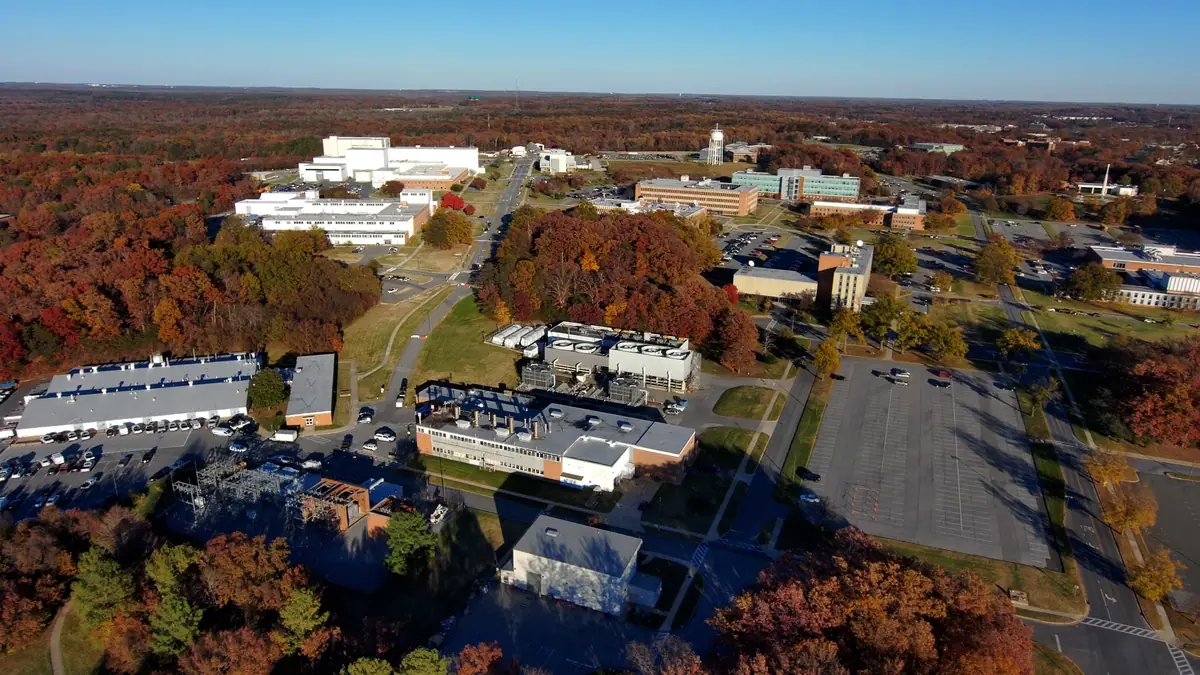
Scoped aerial imagery and documentation for construction, property, land and marketing teams.
Learn more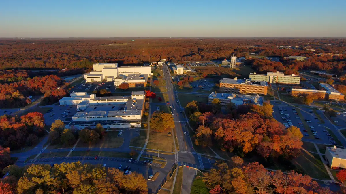
Composed, edited aerial stills for marketing, websites, print and presentations.
Learn more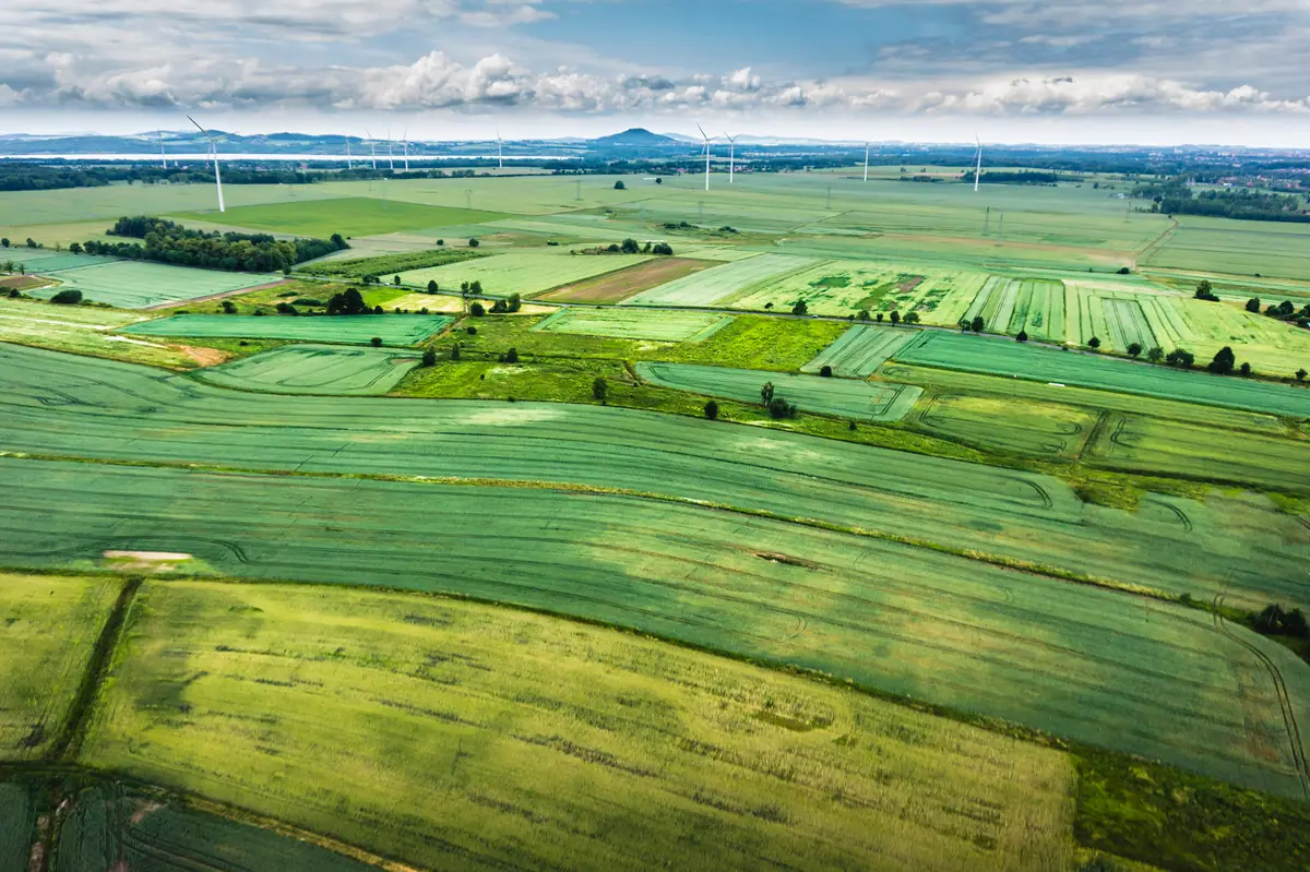
Aerial photos and video of farms, ranches, acreages and ag businesses for records, sales and marketing.
Learn moreStart a project
Send the location, what you need to see and when. You'll receive a written scope and quote — with any airspace or feasibility issues flagged before anything is scheduled.