Agriculture & rural property
Farms, ranches and ag facilities, seen the way they really are
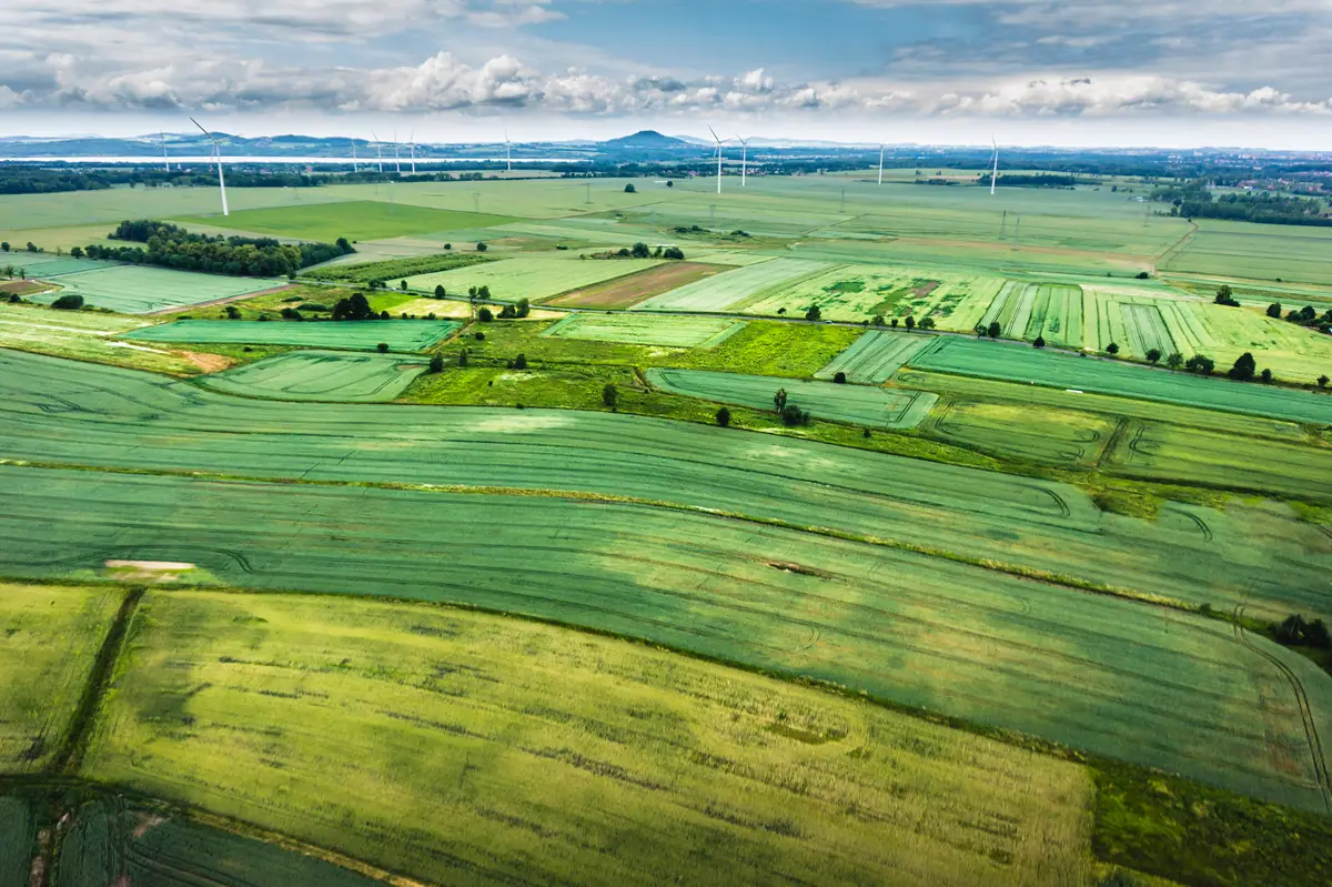
From a field road, a farmstead, feedlot or grain site is a collection of buildings. From the air, it's an operation — with layout, scale and setting that are hard to show any other way. SiouxSky provides aerial photography and video of agricultural and rural properties for records, sales, planning conversations and marketing.
The challenge
Why clients ask for agricultural imagery
Operations are hard to show
Lenders, buyers, partners and customers rarely get a clear picture of how a farm or facility is laid out.
Changes aren't recorded
New buildings, bins, drainage work or storm cleanup often go undocumented until someone needs a record.
Ag businesses need local imagery
Co-ops, dealers and ag service companies benefit from real images of the region they serve.
What can be performed
Available services
Farmstead and facility aerials
Overall and oblique images of yards, buildings, bins, feedlots and equipment areas.
Field and landscape views
Visual overviews of fields, pasture, shelterbelts and water for records and marketing.
Before-and-after visual records
Matched images before and after construction, drainage work or storm cleanup.
Ag business marketing
Aerial stills and video for co-ops, dealers, elevators and ag service providers.
Scope & limitations
What this service is — and isn't
- Imagery is visual only. Crop health analysis, NDVI or multispectral mapping, stand counts, field measurements and agronomic recommendations are not offered.
- Spraying, seeding and other agricultural application work is not offered.
- Livestock areas are approached at heights and distances that avoid disturbing animals; some angles may be skipped for that reason.
How it works
How it works: Agricultural Imagery
- 01
Submit project details
Tell us the location, what you need captured, your timeframe and how the results will be used.
Share the location, what you want photographed and how the images will be used.
- 02
Receive a scope and quote
You get a written scope listing views, deliverables, schedule assumptions and price — before anything is booked.
The quote lists the views, any before-and-after timing, and deliverables.
- 03
Confirm schedule and flight feasibility
Airspace, permissions, site access, weather and on-site conditions are reviewed and a flight window is set.
Owner permission, livestock considerations, airspace and weather are confirmed.
- 04
Receive the agreed deliverables
Edited, organized files are delivered to the structure agreed in your scope.
Edited images are delivered ready for records, listings or marketing.
Every flight depends on airspace, property-owner and site permissions, weather, site conditions and the regulations that apply at the time. If a flight can't be completed safely and legally, it won't be attempted — and you'll know before the visit.
FAQ
Agricultural Imagery: common questions
Can you tell us about crop health from the images?
No. Standard aerial photos can show visible patterns, but crop health analysis requires multispectral sensors, agronomic expertise and workflows that are not currently offered. For agronomic decisions, consult your agronomist.
Will the drone bother livestock?
Flights near livestock are planned at heights and distances that minimize disturbance, and we'll follow your guidance on where animals are and how they react.
Can you photograph a farm we're selling?
Yes. Aerial imagery is well suited to farm and acreage sales — see real estate and land marketing for listing-focused work.
Who uses this service
Where it's available
Serving Sioux Falls and Southeast South Dakota, with other South Dakota locations considered when travel and flight conditions permit. View service areas.
Related services
Real Estate & Land
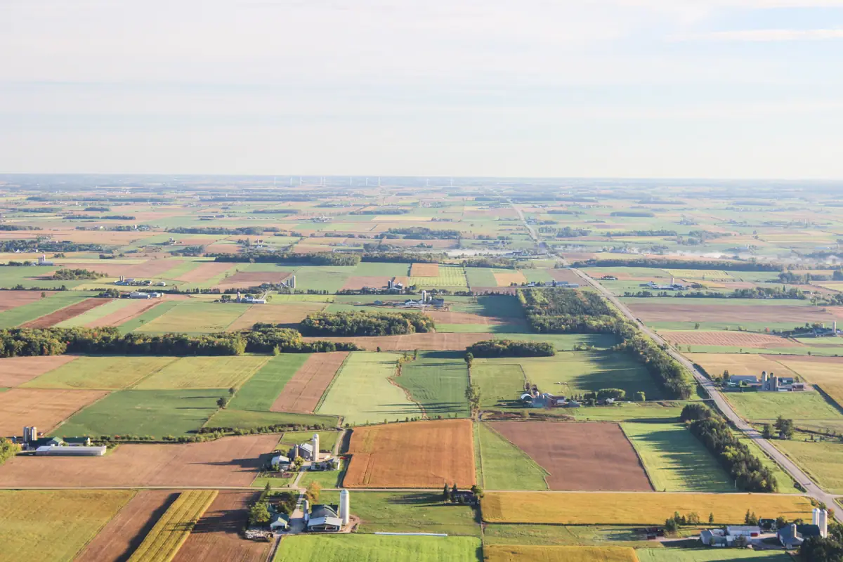
Aerial stills and video that show a property's setting, access and surroundings in context.
Learn more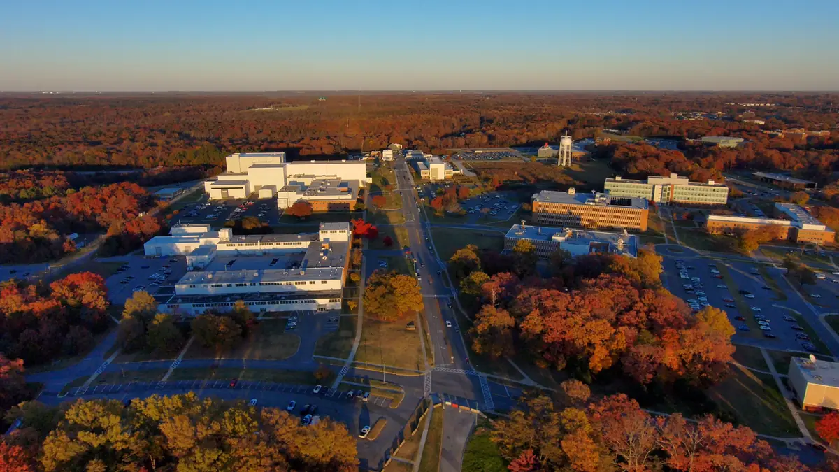
Aerial Photography
Composed, edited aerial stills for marketing, websites, print and presentations.
Learn more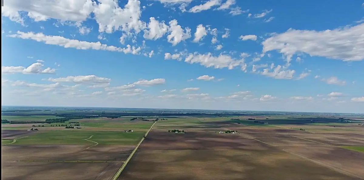
Custom Projects
Aerial capture scoped around a specific need that doesn't fit a standard package.
Learn more
Start a project
Ready to talk about agricultural imagery?
Send the location, what you need to see and when. You'll receive a written scope and quote — with any airspace or feasibility issues flagged before anything is scheduled.