Real estate, acreage & land

Show buyers the setting, not just the front door

For acreages, farmland, lots and commercial sites, the location often sells the property. Aerial imagery shows the lay of the land, outbuildings, access roads, neighbors and nearby amenities in a way ground photos can't — and helps out-of-area buyers understand a property before they visit.

The challenge

Why clients ask for real estate & land

  • Acreage and land are hard to photograph

    Open land looks flat and featureless from the ground; its size, shape and context get lost.

  • Buyers are often remote

    Investors and relocating buyers want a clear sense of a property before committing to a trip.

  • Listings compete on visuals

    Strong lead images help a listing stand out among similar properties.

What can be performed

Available services

  • Listing aerials

    Edited stills of the home or building in its setting, framed for listing platforms.

  • Acreage and land overviews

    Higher-altitude perspectives showing parcel shape, outbuildings, tree lines, water and access.

  • Approximate boundary graphics

    Optional illustrative outlines drawn from information you supply, clearly marked as approximate.

  • Short property videos

    Smooth aerial passes edited into a short clip for listings and social posts.

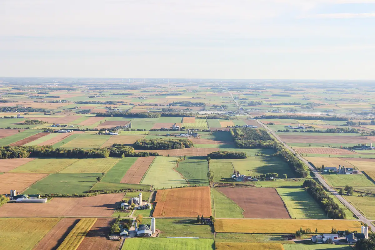
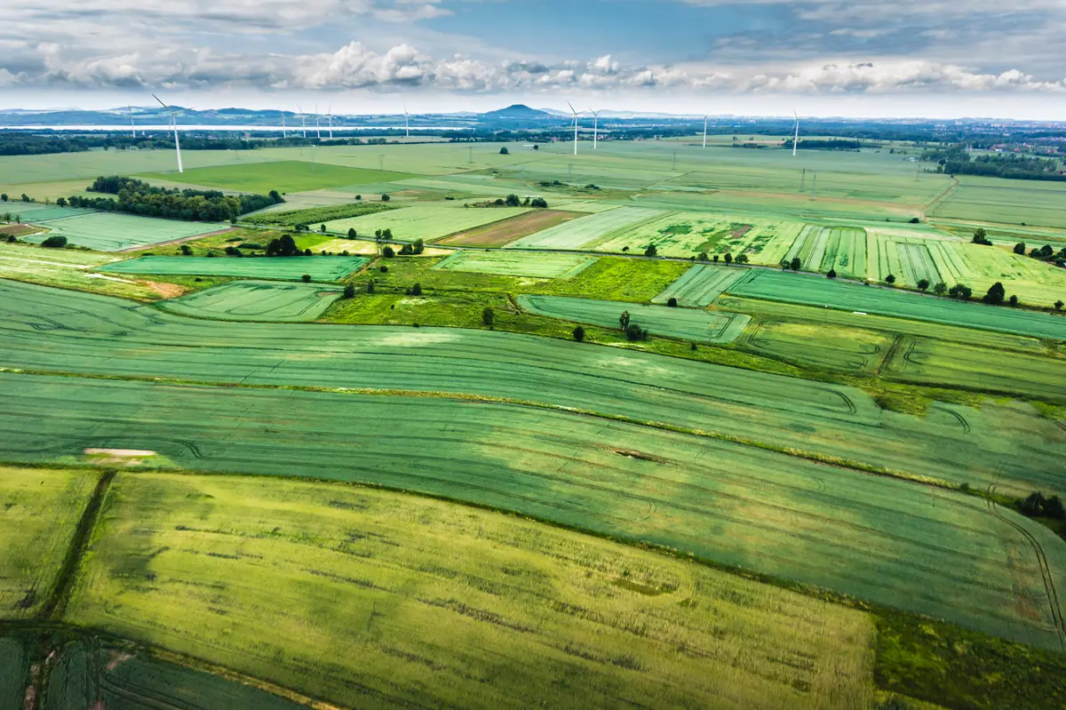
Aerial view of patchwork farm fields, shelterbelts and farmsteads stretching to the horizon
Sample imagery illustrating this type of work — not a SiouxSky client project. Photo: Sveta Fedarava svetacreative (CC0). Credits

Scope & limitations

What this service is — and isn't

  • Boundary graphics are illustrative only and are based on information you provide. They are not a survey and must not be used to establish property lines.
  • Neighboring properties appear in aerial views; framing is chosen to keep the focus on the listing.
  • Ground-level interior and exterior listing photography is not included unless agreed separately.

How it works

How it works: Real Estate & Land

  1. 01

    Submit project details

    Tell us the location, what you need captured, your timeframe and how the results will be used.

    Share the address, property type, listing timeline and any must-have views.

  2. 02

    Receive a scope and quote

    You get a written scope listing views, deliverables, schedule assumptions and price — before anything is booked.

    The quote lists stills, video and graphics, and the delivery timeline.

  3. 03

    Confirm schedule and flight feasibility

    Airspace, permissions, site access, weather and on-site conditions are reviewed and a flight window is set.

    Seller permission, airspace and a good-light weather window are confirmed.

  4. 04

    Receive the agreed deliverables

    Edited, organized files are delivered to the structure agreed in your scope.

    Listing-ready files are delivered with sizes suited to MLS and social use.

Every flight depends on airspace, property-owner and site permissions, weather, site conditions and the regulations that apply at the time. If a flight can't be completed safely and legally, it won't be attempted — and you'll know before the visit.

Packages

How this work is typically scoped

Packages are starting points, not fixed menus. Each project is quoted individually once the site and requirements are known.
  • Real Estate and Land Media

    Request a Quote

    Aerial stills and optional video that show a property's setting, access and boundaries in context.

    Scope can include

    • Edited aerial stills sized for listings
    • Optional short aerial video
    • Optional approximate boundary overlay graphics
FAQ

Real Estate & Land: common questions

Can you mark property lines on the photos?

Approximate outlines can be added from a plat, parcel map or description you provide. They are clearly labeled as approximate and are not a survey.

What time of day is best?

It depends on the property's orientation and what you want to emphasize. Morning or late-afternoon light is often best; the quote will suggest a window.

Do you photograph farmland and hunting land too?

Yes. Rural parcels, cropland, pasture and recreational land are a strong fit for aerial imagery. See also agricultural and rural property imagery.

Who uses this service

Where it's available

Serving Sioux Falls and Southeast South Dakota, with other South Dakota locations considered when travel and flight conditions permit. View service areas.

  • Agricultural Imagery

    Aerial photos and video of farms, ranches, acreages and ag businesses for records, sales and marketing.

    Learn more
  • Aerial Photography

    Composed, edited aerial stills for marketing, websites, print and presentations.

    Learn more
  • Aerial Video

    Planned aerial footage and edited video for marketing, recruiting, presentations and social.

    Learn more

Start a project

Ready to talk about real estate & land?

Send the location, what you need to see and when. You'll receive a written scope and quote — with any airspace or feasibility issues flagged before anything is scheduled.