Commercial roofs & property

See the whole roof and property — without putting anyone on a ladder

Flat roofs, large footprints and multi-building sites are hard to see in full from the ground. SiouxSky captures overall and close-range aerial imagery of roofs, elevations and grounds, organized by section, so owners, property managers and contractors have a clear, shareable visual record.

The challenge

Why clients ask for roof & property documentation

  • Large roofs are hard to see from the ground

    Commercial and agricultural roofs can be invisible from the parking lot, and climbing up for photos costs time and creates risk.

  • Records are needed before and after work

    Owners and contractors want a visual baseline before a project starts and a record after it's finished.

  • Multi-site portfolios lack current images

    Property managers often rely on old or ground-level photos when planning budgets, bids or tenant communications.

What can be performed

Available services

  • Roof overview imagery

    Top-down and oblique perspectives of the full roof area, captured section by section.

  • Close-range detail captures

    Closer images of areas you identify — rooftop units, drains, flashing, penetrations, edges — as far as safe flight allows.

  • Elevation and grounds perspectives

    Building elevations, parking, drive lanes, drainage paths and landscaping from the air.

  • Before-and-after records

    Matching captures before and after roofing, paving or exterior work, from the same positions.

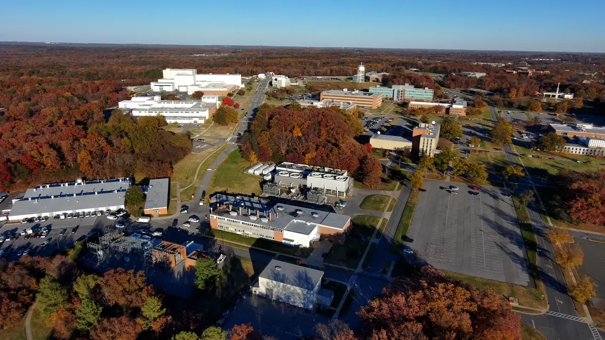
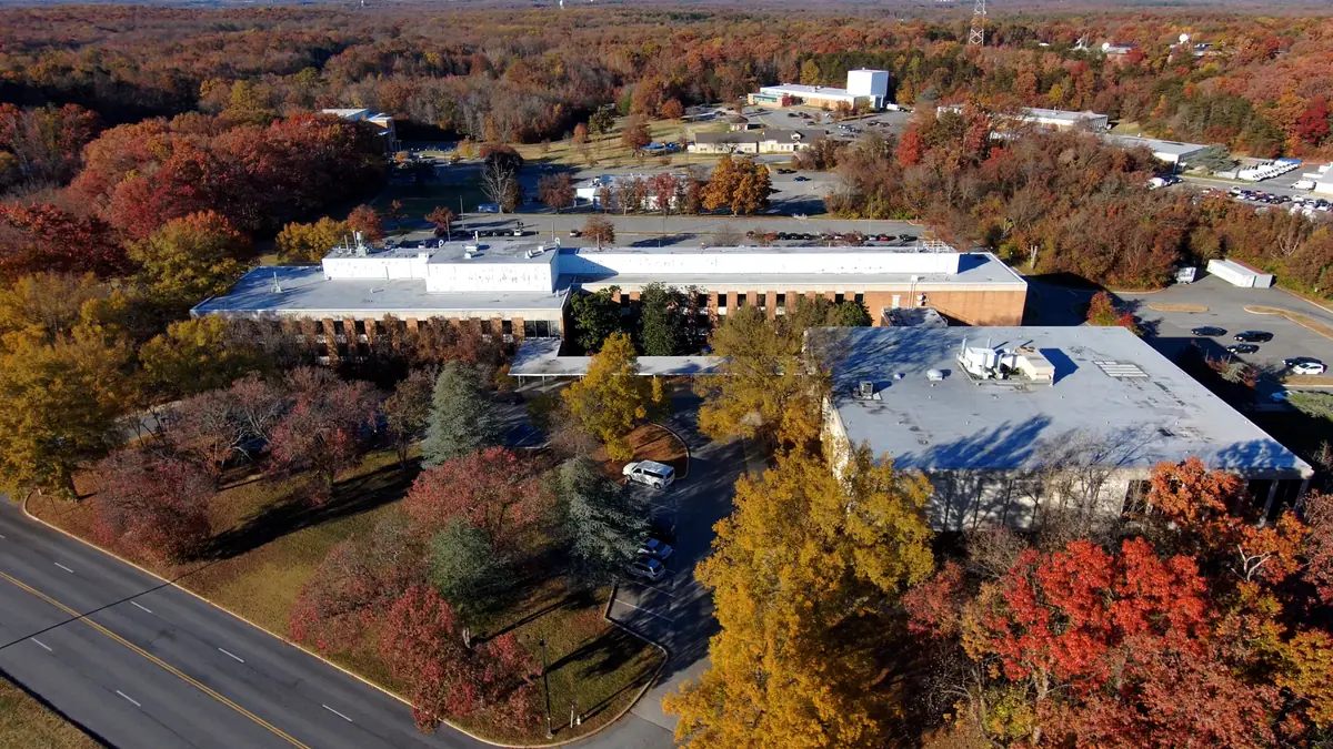
Elevated aerial perspective of flat commercial rooftops with rooftop equipment beside a divided road
Sample imagery illustrating this type of work — not a SiouxSky client project. Photo: NASA's Scientific Visualization Studio - Cecelia Vitale-Reddy, Scott Wiessinger, Francis Reddy (Public domain). Credits

Scope & limitations

What this service is — and isn't

  • This service is a photo record. If you want visible issues identified and reported, book a commercial drone inspection instead. Neither is a certified roof inspection or an insurance claim determination.
  • Imagery can show what is visible on the surface; it cannot confirm leaks, moisture or hidden damage.
  • Thermal imaging and roof measurements are not currently offered.
  • Flights over occupied buildings, near people or in controlled airspace require planning and may limit some angles.

How it works

How it works: Roof & Property Documentation

  1. 01

    Submit project details

    Tell us the location, what you need captured, your timeframe and how the results will be used.

    Share the address, building type and the specific areas or concerns you want documented.

  2. 02

    Receive a scope and quote

    You get a written scope listing views, deliverables, schedule assumptions and price — before anything is booked.

    The scope lists the roof sections, perspectives and labeling you'll receive.

  3. 03

    Confirm schedule and flight feasibility

    Airspace, permissions, site access, weather and on-site conditions are reviewed and a flight window is set.

    Property access, tenant or occupant notification, airspace and weather are confirmed.

  4. 04

    Receive the agreed deliverables

    Edited, organized files are delivered to the structure agreed in your scope.

    Images are delivered grouped by section so they can be handed to your roofer or manager as-is.

Every flight depends on airspace, property-owner and site permissions, weather, site conditions and the regulations that apply at the time. If a flight can't be completed safely and legally, it won't be attempted — and you'll know before the visit.

Packages

How this work is typically scoped

Packages are starting points, not fixed menus. Each project is quoted individually once the site and requirements are known.
  • Commercial Property Documentation

    Request a Quote

    Overall and close-range exterior imagery of buildings, roofs and grounds for records, planning or marketing.

    Scope can include

    • Site overview and elevation perspectives
    • Roof-area imagery organized by section
    • Labeled image set for your files

FAQ

Roof & Property Documentation: common questions

What's the difference between this and a drone inspection?

Documentation gives you a clear, organized photo record of the roof and property. A drone inspection adds annotated photos and a written summary of the visible issues. If you need problems identified, choose the inspection.

Can roofing contractors hire you for their own customers?

Yes. Roofers can use aerial imagery for proposals, pre-job records and completed-work photos, with the property owner's permission for the flight.

Can you document several buildings in one visit?

Yes. Multi-building campuses and nearby sites can usually be grouped into a single visit, which is reflected in the quote.

Who uses this service

Where it's available

Serving Sioux Falls and Southeast South Dakota, with other South Dakota locations considered when travel and flight conditions permit. View service areas.

  • Drone Inspections

    Visual drone inspections of roofs, buildings, farms and commercial assets, with annotated imagery and a summary of visible issues.

    Learn more
  • Commercial Drone Services

    Scoped aerial imagery and documentation for construction, property, land and marketing teams.

    Learn more
  • Real Estate & Land

    Aerial stills and video that show a property's setting, access and surroundings in context.

    Learn more

Start a project

Ready to talk about roof & property documentation?

Send the location, what you need to see and when. You'll receive a written scope and quote — with any airspace or feasibility issues flagged before anything is scheduled.